Topographical Surveys
What We Do
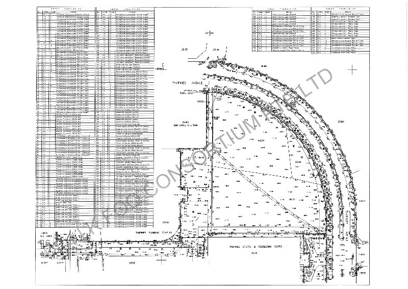
Detailed Terrain Mapping & Digital Modelling
We provide detailed terrain mapping using GNSS and 3D laser scanning technology, producing accurate contour maps, digital terrain models, and topographic plans for design and planning purposes.
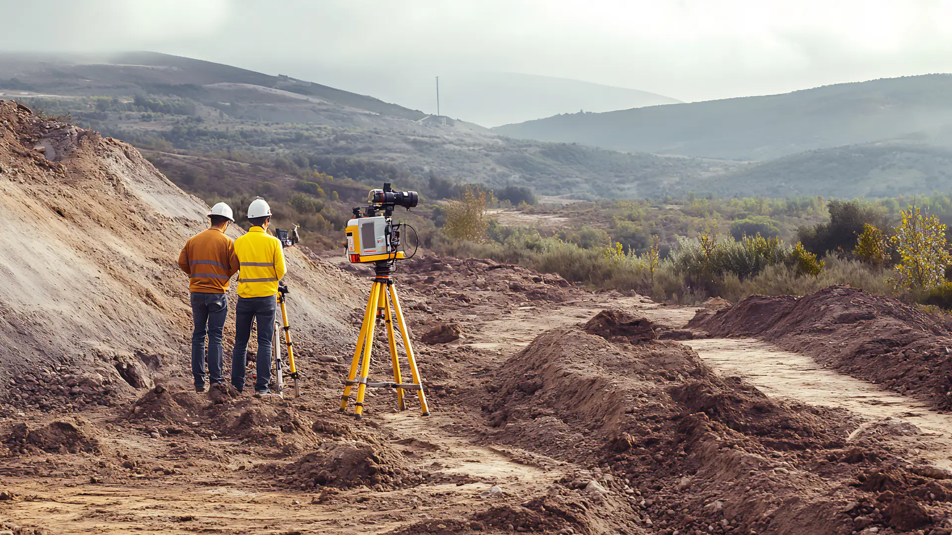
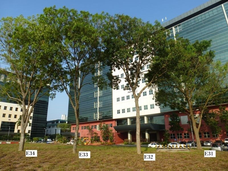
Our topographical survey services capture the physical features of a site, including ground levels, existing structures, vegetation, utilities, and drainage. These surveys form the essential baseline data required by architects, engineers, and planners for project design and feasibility studies.
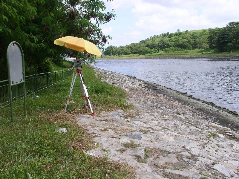
Using state-of-the-art GNSS receivers, total stations, and 3D terrestrial laser scanners, we deliver high-precision survey data that can be integrated directly into CAD and BIM workflows. Our team has extensive experience surveying sites of all scales, from individual lots to large-scale developments and public infrastructure corridors.
Our topographical surveys combine proven field methodology with advanced technology to deliver survey data that meets the highest standards of accuracy and reliability.
What's Included
Contour Mapping
Accurate contour plans for site design and earthworks
Digital Terrain Models
3D terrain models for volume calculation and analysis
Utility Location
Mapping of underground and above-ground utilities
Site Feature Survey
Capture of structures, vegetation, and drainage features
CAD/BIM Integration
Data delivered in CAD and BIM-ready formats
Drone Survey Support
Aerial photogrammetry for large-scale site coverage
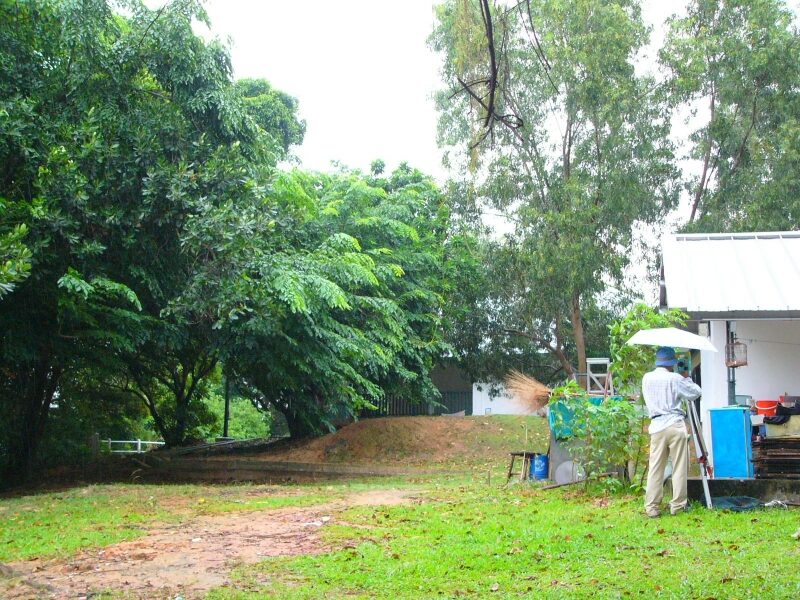
Project Gallery

Planning a Site Development?
Get in touch with our team of experienced surveyors. We respond within one business day.